
A 100-Year Record: South Korea Completes 'National Geological Map', Identifying Rock Distribution Across the Entire Territory
The 'National Geological Map' of South Korea, which contains information on rock types, ages, and fault data…
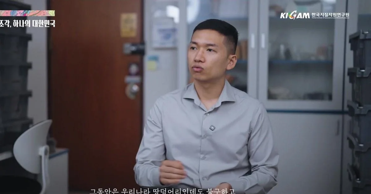
The 'National Geological Map', which contains information on the types and ages of rocks, as well as fault information of the South Korean territory, has finally been completed after about 100 years of investigation. The geological survey of our territory, which first began in 1924, has come to fruition in September 2026, upon completing a full-scale survey of 359 zones south of the Military Demarcation Line.
A 'History Book of the Earth' spanning 100 years
According to a video from the Ministry of Science and ICT, the newly completed National Geological Map is like a 'history book of the earth' that shows how our territory was formed over hundreds of millions of years. The geological map is fundamental data that shows in detail what kind of rocks the land we live on is composed of and what geological structures it possesses.
A researcher appearing in the video emphasized the importance of the geological map, explaining, "The spaces where human activities take place are basically based on the ground," and "Identifying what kind of rocks they are composed of and what characteristics they have is a very fundamental and important task." In particular, the geological map completed this time was produced at a scale of 1:50,000, allowing for a one-glance understanding of the history and spatial distribution of rocks distributed throughout the country.
Field-oriented investigation, a 'miracle' created by the dedication of researchers
This completion is the result of the concentrated efforts of researchers who have traversed the mountains and fields of the country across generations. The participant in the video recalled the hardships of past geological surveys, conveying how much physical effort was required to complete a single map sheet at a 1:50,000 scale. In the past, geological surveying was a task that required patience and sincerity, to the extent that two investigators had to survey only one map sheet per year.
In particular, geological surveys, which began in earnest after the 1960s, developed rapidly in conjunction with national resource development. Starting with the formation of the Taebaeksan District Underground Resources Survey Team in the 1960s, which produced the Geological Map of the Taebaeksan District in just one year, nationwide geological map production continued until 1975. The participant evaluated, "It is rare for a country to complete all 1:50,000 geological maps within its own territory," and "That many researchers were mobilized to achieve this in a short period of time is like a miracle."
The investigation method is strictly 'field-oriented.' To check fresh rock surfaces, researchers perform 'hammering' by directly breaking rocks with a hammer to observe the minerals and textures of the exposed rocks. The participant emphasized, "As the saying goes in geology, 'seeing once is not like seeing a hundred times,' you must run around the field yourself to obtain accurate information."
From resource exploration to AI integration... Data assets for the future
The completed National Geological Map will not merely remain a record of the past but is expected to be used as core data for future land utilization and disaster response. The accumulated geological information will serve as important fundamental data not only for resource exploration but also for responding to natural disasters such as earthquakes.
Future directions for utilization are also being specified. While existing geological maps focused on surface information, there are plans to reinforce detailed cross-sections of underground geological information and strengthen applied geological aspects in the future. The Ministry of Science and ICT plans to combine the vast geological data secured this time with Artificial Intelligence (AI) technology and develop it into 3D geological information to be utilized in various industrial fields.
The participant stated, "This completion is like making one large sketch of the entire country," and "In the future, we must provide useful information to the public through digitized services and reinforced detailed underground information in accordance with the changes of the times."
0Comments
Comments are currently disabled.